 |
GeoFrac Landscape Generator2007 |
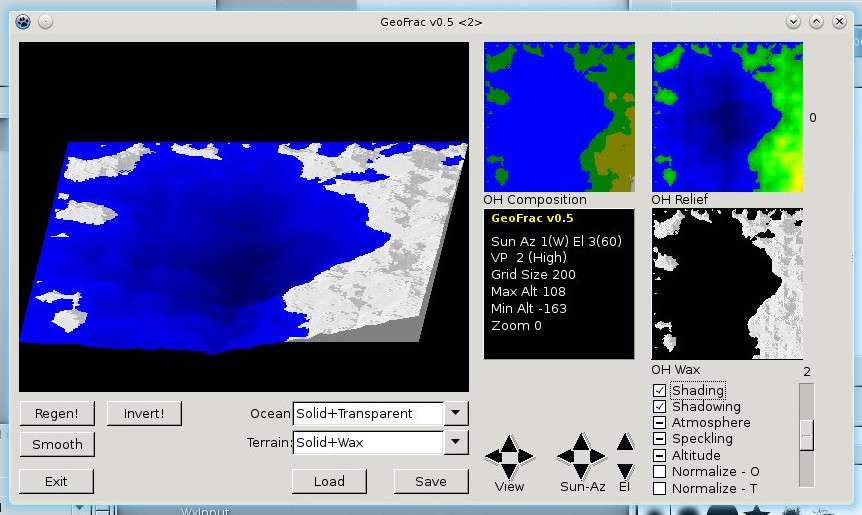
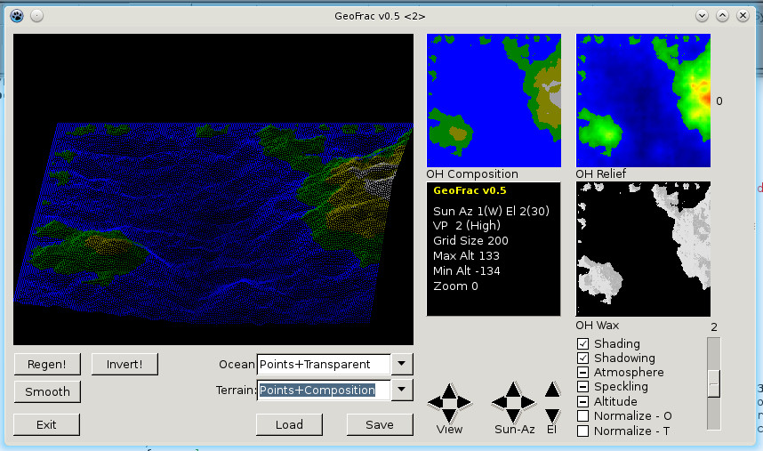
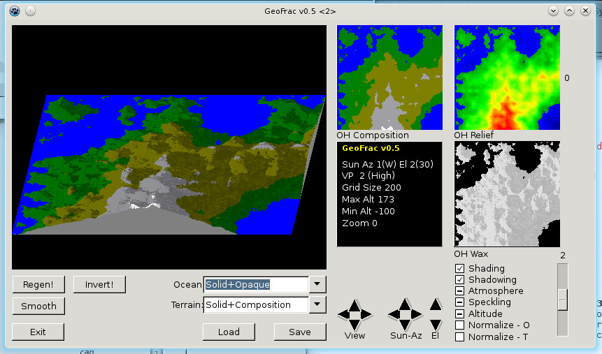
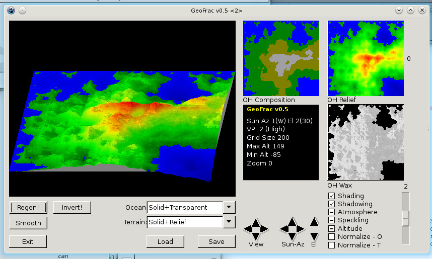
GeoFrac was a fractal landscape generator. The output could vary in angle between Overhead, High, Low, and Level. The resulting landscape could be viewed from any of the four sides. The sun could be displayed from the four major compass points, and its elevation could be varied between Overhead, High, Low, and Sunset. The 3D view of above-ground terrain could be displayed in one of several ways; Solid (filled in) or Points (halftone; see upper-right image); and in various textures: Composition, with broad shading by elevation to indicate the type of terrain and vegation, or snowcap; Relief, a continuously-varying shade by altitude; or Wax, a plain-white rendering. Strangely, I found that the renderings beautifully represented shapes and slopes when set to Points, Composition. The view of the ocean could also be solid or points, and could also be varied between Depth (rendered flat but colour-coded for depth); Opaque (flat and monochromic blue); and Transparent (rendered 3D and colour-coded by depth). I found that the best ocean renderings were accomplished with Points, Transparent. The view was enhanced, optionally, with shading of landforms by slope angle; and shadowing according to the solar azimuth and elevation. Also included were three overhead mini-views and a status panel. Finally, the whole works could be inverted or smoothed. |