Second-Latest Processed Primary Capture Image:
 |
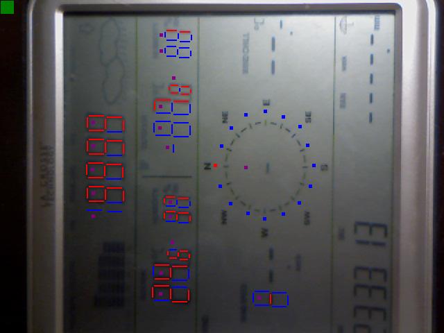
This is the second-latest processed primary sensors capture image. A green rectangle at the top left indicates an error-free scan; highly unlikely that you will ever see violet (error correction was needed), or red (an item could not be scanned). Red segments of a character indicate that they were
deemed to be 'lit up'; a blue segment was deemed 'not lit up'. This image highlights mcOCR's ability to deal with such things as light-on-dark displays, customized characters ("Out"), wind rosettes ("Wind"), cumulative totals ("Rain"), floating decimal points (next version), unit conversions ("Baro"), and arithmetic. This
is an example of a good-quality image (bright, reasonably sharp, no reflections). Note, at lower left, two new data that are now being measured, but not yet collected by the weather server: Sky Brightness ("Bright"), and the Ultraviolet Index ("UVI"). Although both displays include the Moon's phase, it is calculated independently by the weather server. The time shown on the image may not be correct. Images are one behind realtime. |
Second-Latest Processed Backup Capture Image:
 |
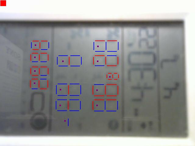
This is the second-latest processed secondary sensors capture image. It highlights mcOCR's ability to convert values and perform arithmetic. This image
is nowadays of good quality; the Author is now totally sold on the value of light-on-dark
displays, as they offer far superior contrast and need no lighting. The time shown on the image may not be correct. The sensor is tucked away in a quiet corner of the CTO Observing Area, and captures indoor and outdoor temperatures, and barometric pressure (which is converted to metric
and then adjusted to local altitude). Images are one behind realtime. This installation of mcOCR is often a late beta version and may contain more features. |
|
